


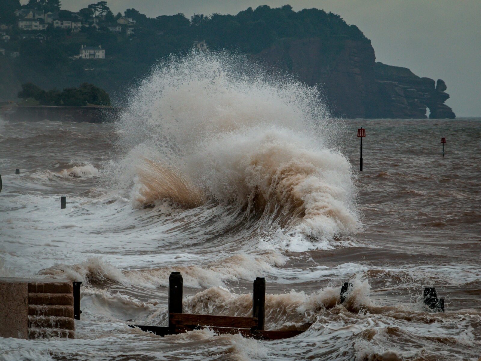
Header: George Desipris/Pexels
Several years ago, Fujitsu, in a major project with the City of Kawasaki and leading Japanese universities, developed a high-tech system to manage tsunami evacuations. This system was a significant move in emergency preparedness, linking the power of Japan’s “Fugaku” supercomputer to a specially designed smartphone application. It was created to provide real-time, easy-to-understand warnings to help residents get to safety quickly and make sure no one was left behind.
Building the AI “brain” on a supercomputer
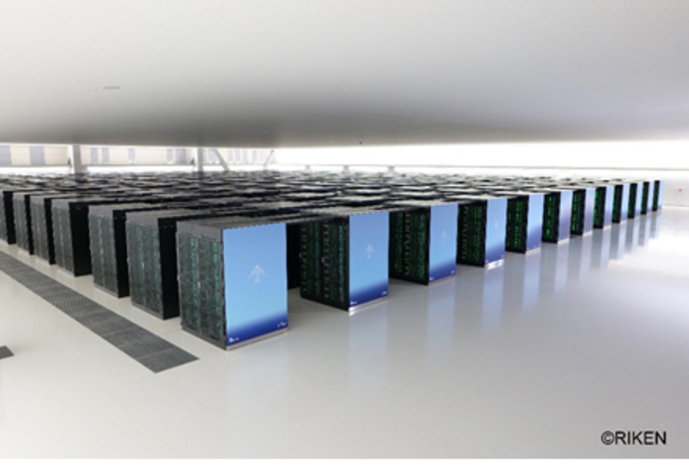
The project’s foundation was laid in 2021 when researchers from Fujitsu, Tohoku University, and the University of Tokyo tackled a major problem: how to predict a tsunami’s flood path in real-time. Old methods were too slow or required a supercomputer to run, which wasn’t practical in an emergency.
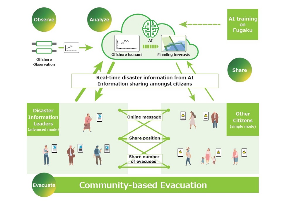
Their solution was to use the “Fugaku” supercomputer, the world’s fastest at the time, to do the heavy work in advance. The team ran 20,000 different high-resolution tsunami simulations, each modeling the water’s path in three-meter units. This massive collection of data was then used to train a powerful artificial intelligence model. The result was a highly efficient AI that could accurately predict coastal flooding just by using new data from offshore warning systems.
The most important design feature of this AI was its speed. After being trained by Fugaku, the AI model was so small and fast it could run on a regular PC in just a few seconds. This development was the key that made a practical, real-time warning system possible.
Designing a smartphone app for all users
The next challenge was getting this powerful AI information to the public in a useful way. For this, Fujitsu designed a special smartphone application focused on emergency use. The designers understood that in a crisis, people have different needs and technological comfort levels.
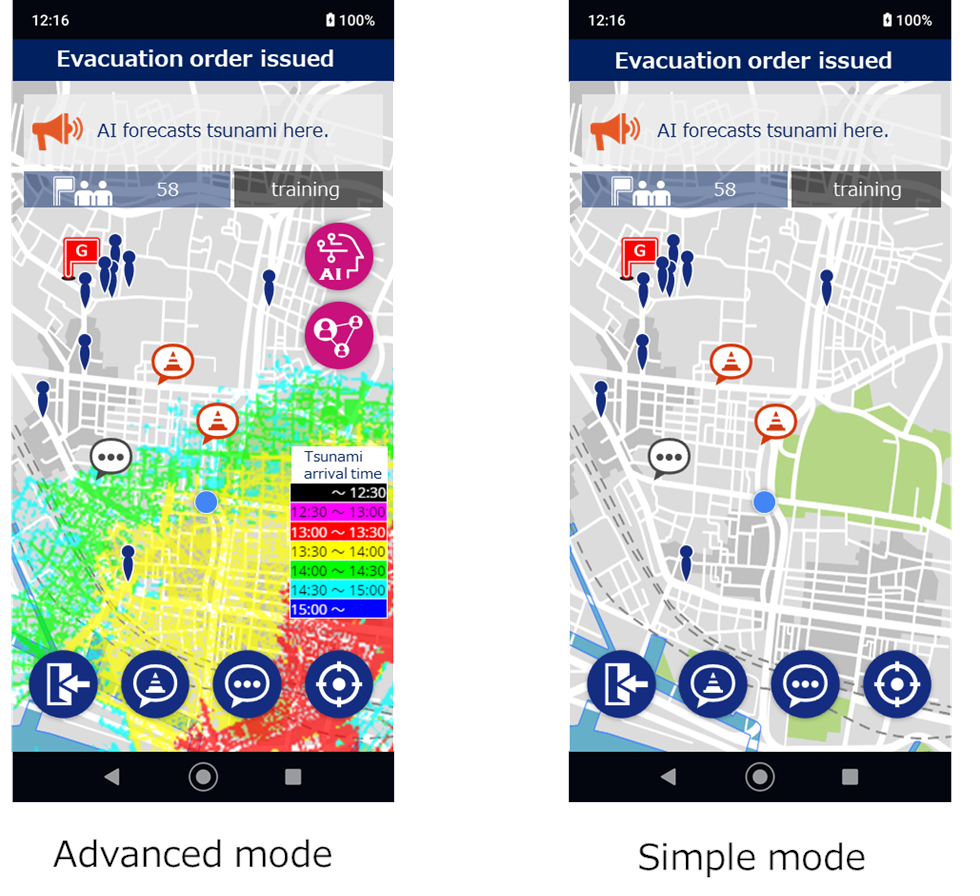
To solve this, the app was built with two main display modes. The first was a detailed mode for those who wanted full information. It showed a map of the area with the AI’s predictions shown in different colors, indicating the tsunami’s expected arrival time and the predicted height of the floodwater.
The second mode was a simple display. This was designed for people who might be overwhelmed by a complex map or who have low digital literacy. This screen showed no map at all. Instead, it displayed only a clear, simple text message warning the user that the AI predicted flooding for their specific location. This two-mode design was a practical decision to make the warning understandable to everyone.
An app designed for community, not just individuals
The app’s design went beyond just sending warnings, it was built to be a tool for community-wide coordination. It included a messaging function, but its most critical feature allowed users to check the map location of other registered members of their community.
This design supported a “resilient architecture” for the community itself. During a 2022 field trial in Kawasaki, certain participants were made “disaster information leaders.” They used this location-tracking feature to see who might be evacuating slowly or left behind and could then use the app’s messaging function to contact them. The app also allowed any user to post and share updates about the evacuation route, such as reporting a damaged road. Another function shared real-time counts of how many people had successfully arrived at the evacuation centers.
How the system was tested in Kawasaki
In March 2022, the entire system was tested by the people it was built for. Local residents in Kawasaki participated in a field trial held near a junior high school. They used the app during a simulated evacuation drill. To make the test realistic, organizers told the participants that the AI’s forecast information might not be 100% certain, mirroring the uncertainty of a real disaster.
This trial allowed the researchers to see how people used the app’s design features in practice. The feedback from residents helped the team refine the tool, which remains a key example of how advanced computing can be used to create practical, life-saving designs for building safer local communities.

A new model for emergency design
Fujitsu’s work in Kawasaki demonstrates a complete path from pure research to real-world safety. The project successfully connected the massive processing power of the Fugaku supercomputer to a simple, practical smartphone app. The system’s real success, however, is in its human-focused emergency design. Features like the two-display modes and the community location tracking show a clear understanding of what people actually need during the chaos of a disaster. This project serves as a clear model for how advanced technology can be practically applied to build more resilient towns and cities, better prepared for future disasters.